Water Visualization
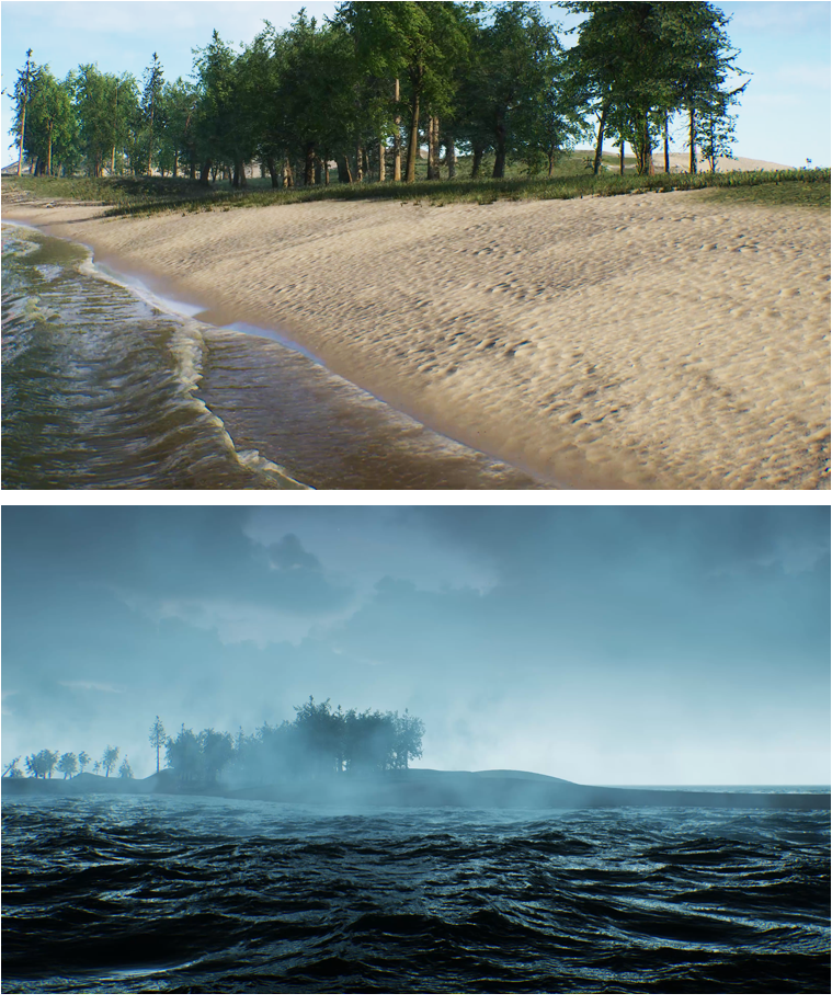
Ironfin employs true water physics simulation technology to offer hyper-realistic water simulations. Utilizing aerially scanned land, they generate visually compelling water simulations displaying the movement and flow of water across textured landscapes. Additionally, they transform complex waterway and watershed analyses into engaging simulations aiding stakeholder comprehension on proposed changes. They also excel in creating topographically accurate videos showcasing proposed plans with incredible detail, making them a choice provider for realistic and engaging water and landscape visualizations.