
Ironfin
WorkFor consultantsStudioContact
519.803.7274
contact@ironfin.com
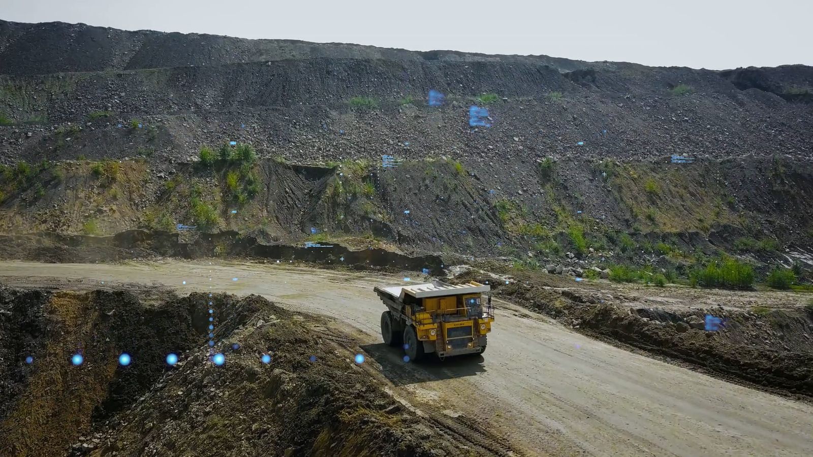
Haul truck on a road cut into the wall of an open pit
Closure & reclamation

Mine closures & reclamation.

Showing a closure plan as the landscape it will become. The sequence covers backfilling, regrading and revegetation, and lets a team test closure scenarios before committing to one.

Source data: Drone photogrammetryDeliverables: 3D model, time-based animationUsed in: Closure planning & risk assessment

Challenge

Closure plans ask stakeholders to trust a future they can’t see: decades of pit lakes, regraded slopes, and returning vegetation compressed into a report.

Solution

Time-based visualization of the closure sequence, including the pit filling with water. The end state as a place, not a diagram.

Impact

Gives regulators and communities a concrete picture of the reclaimed landscape to respond to.

3D render of a mine pit partly filled with water under heavy cloud, regraded slopes running down to the water line
CLOSURE END STATE: THE PIT AS A FILLED LAKE
Drone flying over a pit wall, the scanned surface picked out beneath it as a grid of survey points
CAPTURE: HIGH-RESOLUTION AERIAL IMAGERY, PROCESSED INTO A 3D MODEL

Start with a location and whatever reference material you have.

That’s usually enough for us to start scoping the project. We’ll come back with an approach, the technical inputs we need, a timeline, and a quote.