
If they can’t picture it, they won’t approve it.
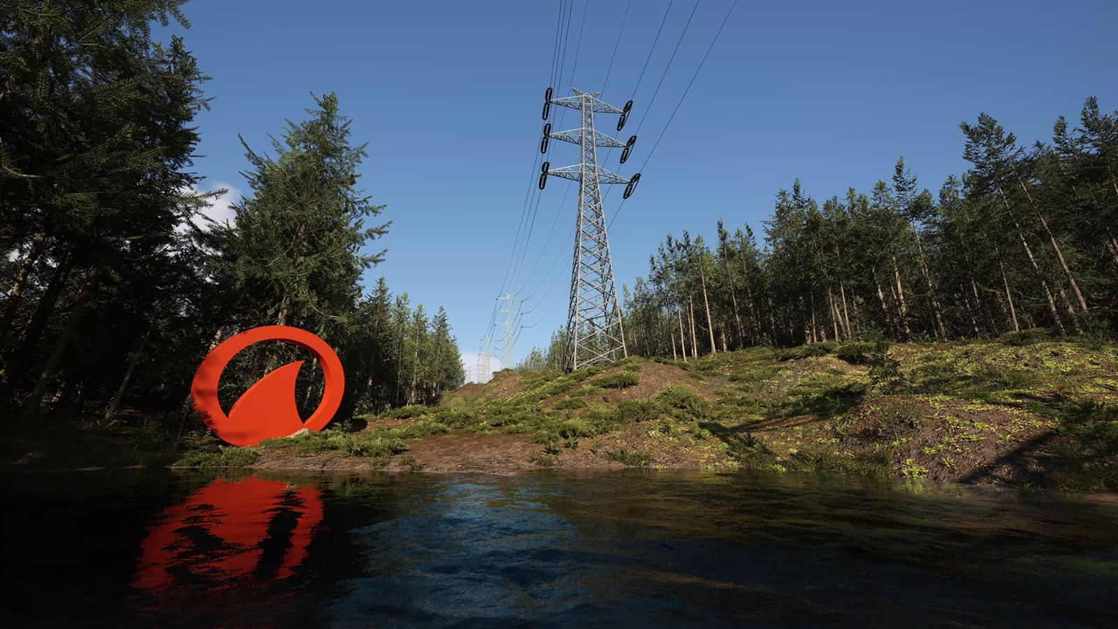
Projects can stall when people can’t clearly see what’s proposed. Uncertainty leaves room for different interpretations and worst-case assumptions. Ironfin builds topographically accurate visualizations that put regulators, councils, and communities in front of the same clear picture.



Our visualizations have been used in consultation and regulatory affairs at Agnico Eagle’s Nunavut operations, supporting approvals for expansions and new developments.
See the open-pit work →A Hudson Bay pump station moved forward after the community saw exactly what would be built on their shoreline, and approved it.
See the pump station →The Government of Nunavut saw our 3D flyover renders and inquired about our drone services, assuming they were real footage.
See how we scan →What we actually do
We build a thing that doesn’t exist yet, in a place that does, so the people who have to approve it can see it before it’s built.
That is the whole job. Whether the thing is a pit, a transmission corridor, a turbine array, a culvert, a pump station or a highway alignment, the problem is the same. The proposal exists as drawings and a 200-page assessment, and the people who decide its future are asked to imagine it. We remove the imagining.
The most expensive gap on any project
It’s the gap between what you’ve designed and what everyone else can picture. Even a detailed cross-section and a 200-page assessment can leave that gap open, and uncertainty fills it with worst-case assumptions. We close it. Built from survey data, drone photogrammetry, and real terrain, our visualizations show a proposal as it will actually sit on the land: to scale, from any angle, in motion. Not a generic artist’s impression. A visualization grounded in measured site data.
Who we work with
Project proponents
Mining, energy, transmission, transport, water, and public infrastructure. You own the project and the approval risk. We give your permitting and consultation teams the visual evidence that keeps reviews moving.
See the work →Consulting firms
Engineering, environmental, and energy consultants accountable for submissions, hearings, and community meetings. We deliver under your brand or ours. Your call.
How we work with consultants →Selected work

Open-pit mining
More than a decade of visualization supporting permits, consultation, and planning at operating mines.

Wind energy
Turbines on the actual landscape, at the scale they will be built.

Wildlife migration overpass
Showing a community how infrastructure and a caribou herd coexist.

Mine closures & reclamation
Showing a closure plan as the landscape it will become.

Shoreline pump station
Approved by the community that saw it first.

Underwater sonar
Modelled to sub-millimetre accuracy and used in place of photographs.
“Ironfin’s 3D renders showcased our SONAR technology with amazing accuracy and realism. The visuals were so compelling we used them in our brochures instead of actual photographs.”
“Ironfin has provided a unique and exceptional product that has been used in consultation and regulatory affairs.”